Description
Leapfrog Geo 2026 Crack
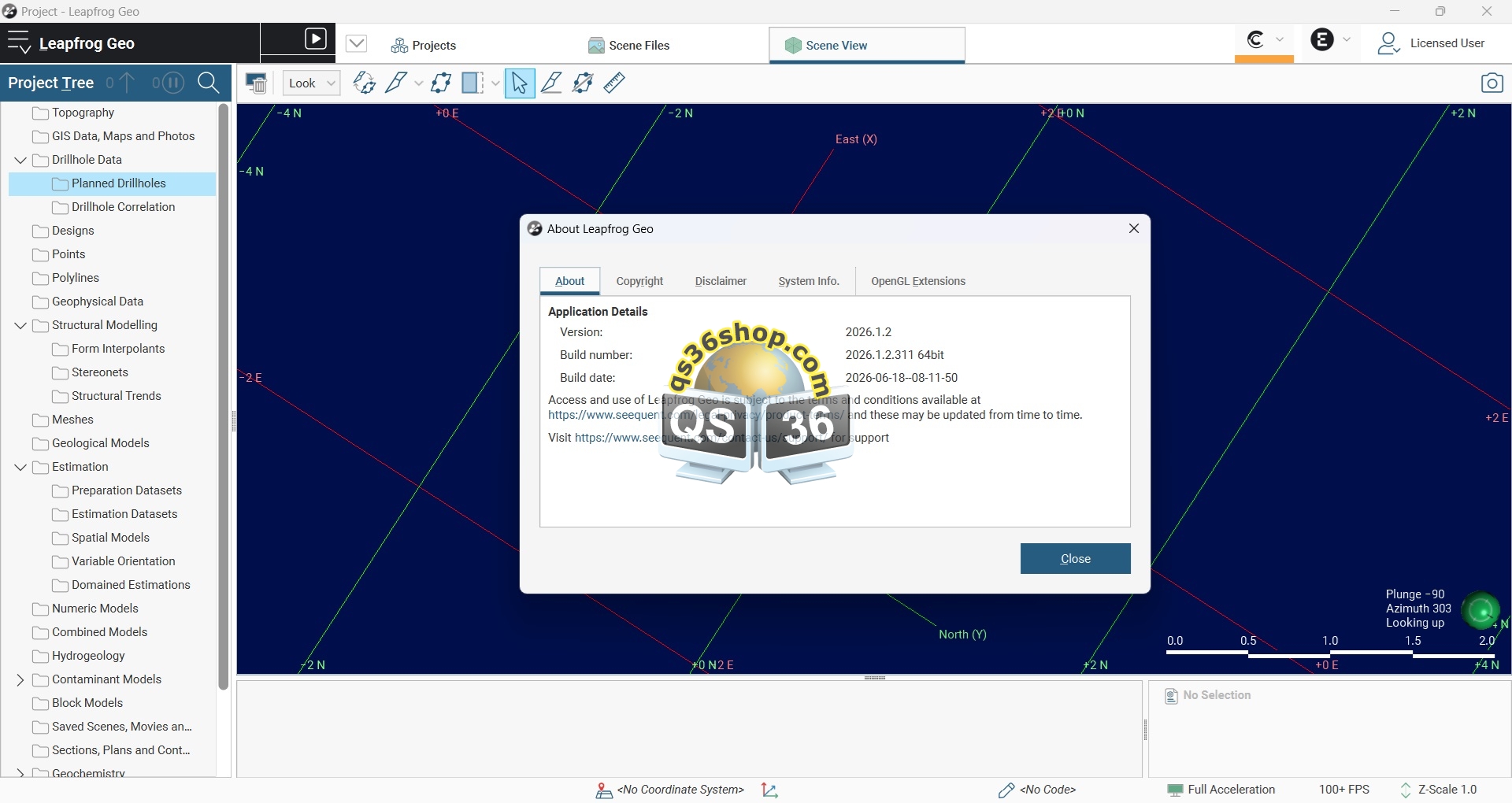
Leapfrog Geo is a workflow-based 3D geological modelling and implicit modelling platform developed by Seequent, part of Bentley Systems. It is designed primarily for geology, mining and exploration workflows, allowing users to construct, evaluate and update geological models directly from drillhole, structural, surface, geophysical and other spatial datasets.
Leapfrog Geo 2026.1.2 introduces an important improvement to drillhole planning: a Target Surface Selector for the Grid Hole Planner
Core geological modelling
Leapfrog Geo uses an implicit geological modelling engine. Rather than requiring the geologist to manually construct every surface and solid, geological objects can be generated from observations and modelling rules. This makes the model highly editable and allows changes to input data or interpretation to propagate through the model.
Typical modelling workflows include:
– Geological contact and lithology modelling
– Stratigraphic modelling
– Structural modelling
– Fault modelling
– Vein modelling
– Intrusion and domain modelling
– Surface and volume generation
– Geological interpretation from drillholes
– Creation and evaluation of 3D geological solids
The workflow-based approach means that the model retains relationships between data, geological interpretation and resulting objects rather than simply storing a static final mesh.
Drillhole data
Leapfrog Geo is designed to work extensively with drilling information. Supported inputs include drilling datasets and planned drillholes, along with formats such as CSV, TXT, TSV, DAT, ASC, XYZ and AGS; LAS files can also be imported into existing drilling datasets.
Drillhole workflows can incorporate:
– Collar coordinates
– Downhole surveys
– Lithological intervals
– Assay data
– Geological codes
– Structural measurements
– Multiple drillhole datasets
– Planned drilling
– Drillhole visualisation in 3D
Drillholes can subsequently be used as constraints or observations for geological modelling.
Grid Hole Planner improvement in 2026.1.2
One of the specifically documented additions in 2026.1.2 is the Target Surface Selector in the Grid Hole Planner.
This allows users to bulk-set target depths from a surface when planning holes. In practical terms, this can make systematic drillhole planning more efficient when the desired target is defined relative to an existing geological or topographic surface.
This is particularly useful when designing a regular or semi-regular drilling campaign where multiple planned holes need their target depths determined from the same surface.
Surfaces and meshes
Leapfrog Geo can work with a range of spatial objects, including:
– Geological surfaces
– Topographic surfaces
– Meshes
– Points
– Polylines
– GIS data
– 2D grids
– Structural data
– Geophysical data
– Maps and images
These datasets can be incorporated into geological interpretation and modelling workflows.
Structural geology
Structural observations can be incorporated into modelling workflows to help represent geological orientation and structural controls.
Depending on the modelling workflow, structural information can contribute to:
– Geological trends
– Orientation control
– Fault interpretation
– Folding
– Vein modelling
– Anisotropic geological relationships
This is particularly important where geological contacts cannot be adequately represented using simple isotropic interpolation.
Implicit modelling
The main strength of Leapfrog Geo is its implicit modelling approach.
Instead of manually digitising every geological boundary, the modeller can define relationships and constraints from available geological observations. The software then calculates surfaces and volumes from these constraints.
This provides several advantages:
– Rapid model updates
– Interactive interpretation
– Reduced manual digitising
– Easier testing of alternative geological interpretations
– Better integration between drillhole observations and 3D geology
– Reproducible modelling workflows
Data integration
Leapfrog Geo is intended to bring multiple types of geological and spatial information into the same 3D environment.
The documented input categories include:
– Drillholes
– Planned drillholes
– Meshes and surfaces
– Points
– Polylines
– GIS data
– 2D grids
– Design models
– Structural data
– Geophysical data
– Maps
– Images
– Historical sections
– MODFLOW and FEFLOW flow models when the Hydrogeology Extension is used.
This makes it possible to compare geological interpretations with other spatial datasets rather than treating the geological model in isolation.
Mining and exploration applications
Leapfrog Geo is particularly suited to mineral exploration and mining applications where geological understanding evolves as new drilling becomes available.
Common applications include:
– Exploration targeting
– Geological interpretation
– Lithological modelling
– Mineralisation modelling
– Structural interpretation
– Orebody modelling
– Resource-domain interpretation
– Drillhole planning
– Integration of geological and geophysical information
– 3D visualisation and communication of geological interpretations
Performance and workflow philosophy
Leapfrog’s workflow-based approach is intended to allow models to remain connected to their source data and modelling decisions. This is useful in exploration environments because additional drillholes can be incorporated without necessarily rebuilding the entire geological model manually.